
Myrton Castle
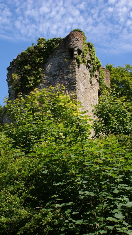
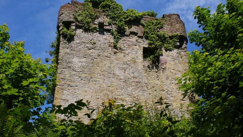
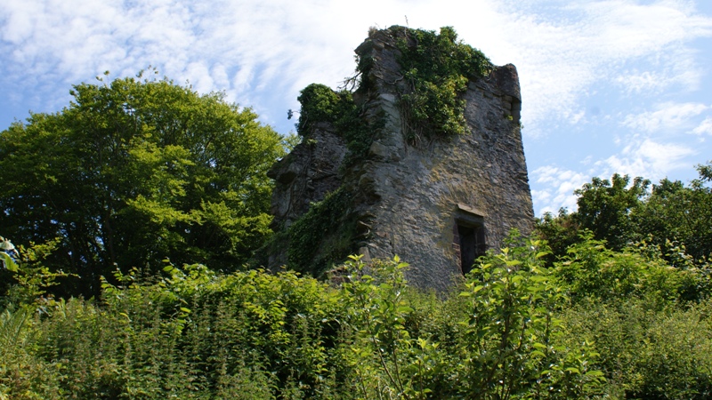
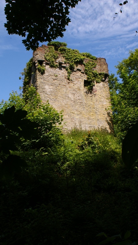 Myrton Castle (pronounced “Merton” and sometimes spelled Myretoun) is located in the Dumfries and Galloway area about one mile from Port William in the Mochrum District of Wigtownshire, Scotland. The castle sits on a hill overlooking the White Loch of Myrton near Monreith Mains near Luce Bay. Like Druchtag, the castle was constructed on a motte, or man-made hill. Myrton Castle was built about 1500 or earlier, and may have replaced a wooden fortress dating back to the 1100’s. It was originally built as a tower house and additions were added into the 1600’s and 1700’s. It rises four stories and a garret and has a parapet. The rooms are connected by a circular stone stairway. Moats filled with water surrounded part of the castle. Prior to its abandonment in 1790, the castle complex included about a dozen buildings including a small chapel, stables, coach sheds, barns, bakeries and kitchens.
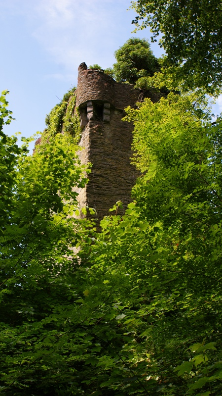
 The early history of Myrton Castle and the Barony of Myretoun were associated with the McCullochs of Myretoun and later the Maxwells of Moneity. Both families were Baronets of Nova Scotia. In 1504, James IV granted a charter to Sir Alexander McCulloch and elevated Myrton Castle, its principal seat, into a Burgh of Barony. A favorite of the king, Sir Alexander was the king’s falconer. King James IV often stopped by Myrton Castle to stay on his travels. The king also appointed Sir Alexander as Sheriff of Wigtown from 1498 to 1501. In 1580, King James VI (later James I of England) passed the Barony to William McCulloch, the son and heir of Simon McCulloch. On April 24, 1622, James VI re-granted the barony to doctor John McCulloch. The last McCulloch to occupy Myrton Castle was Sir Godfrey McCulloch, who was convicted of murder and guillotined. Before his execution he sold his barony to Sir William Maxwell of Monreith.
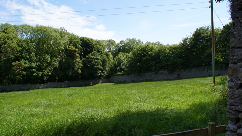
 During June, 2010 we went in search of Myrton Castle which is privately owned. After considerable searching, asking directions from locals several times and using our iPhone map apps we found the castle. (No signs lead to the castle site) Before we found the castle we found an amazing stone wall enclosed field which turned out to be about 100-feet behind the castle. We spoke with the father of the current owner of the house connected to the field but he couldn’t tell us anything about it. Later research revealed this to be the Walled Garden of Monreith which was definitely associated with the castle. General William Roy’s map of c.1750 indicates the garden to be present by that time. The flowers in the walled garden back then included madonna lily, clove carnations, mullein, lupin, hyacinth, red primrose, polyanthus, guelder rose, anemone, moss rose, scarlet lychnis, pink geranium, convolvulus, sunflower, sweet-william, scabious and canterbury bells. Originally the garden was in two separately walled sections. The south section is no longer in existence and in recent times the remaining north “garden” has been used for cattle grazing.
-
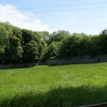
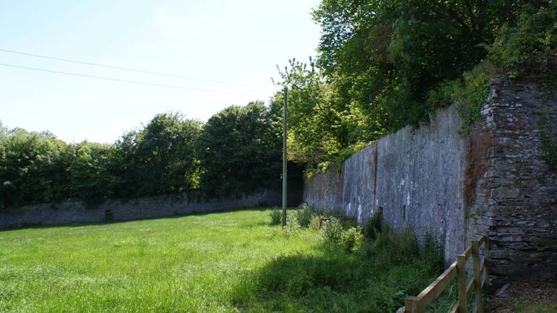
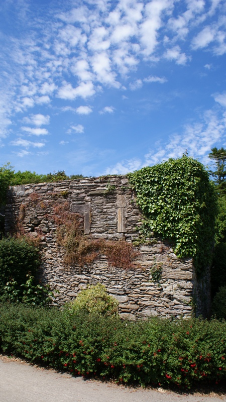
- This large field enclosed by massive stone walls is what was once the north section of The Walled Garden of Monreith.
-
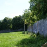
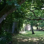
- Myrton castle is about 100 feet to the right of the far corner of the wall along the right side of the photo.
-
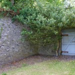
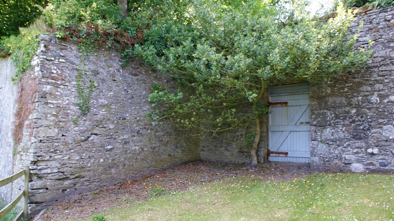
- This opening leads out of the walled garden toward the castle.
-
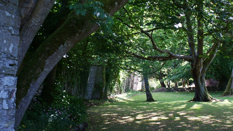
- This view is from just through the door in the wall. The castle is not visible from this point due to the trees. It is just out of the photo to the right. The stone garden wall is visible along the left of the photo.
Ruins of Myrton Chapel
The owner’s father did point out a square stone structure virtually connected to his son’s house and said he understood this to actually be an old chapel of some kind. And in fact the historian, Symson, writting in 1684 indicates there was “…an old chapel within less than a bow draught’s distance” from the castle. Indeed more research revealed this is clearly Myrton Chapel.
——————————–
Sources:
All photos by Rodney L. McCulloh, June 2010
The Descendants of Captain John McCollough (1770-1847) And Anna Elizabeth Spangler (1779-1858) – 2006, Mark and Curtis McCollough
Much of the information for the Walled Garden’s of Monreith was found here: http://data.historic-scotland.gov.uk/pls/htmldb/f?p=2400:15:0::::GARDEN:GDL00287#history under the “Landscape Components” tab. Accessed 11/11/2013.